The Paliessie lowlands lie mainly along the Prypiac’ river. On the west Paliessie reaches the Dniepr river. To the north the Paliessie lowlands stretch along the rivers Biarezina, Ptych, and Jasielda and spread amidst the northern uplands. Being stretched between the rivers Boog in the West and Dnieper in the East, between Navahradak Hill in the North and Valyn’ mountains in the South, Paliessie occupies 80, 000 sq. kilometers.
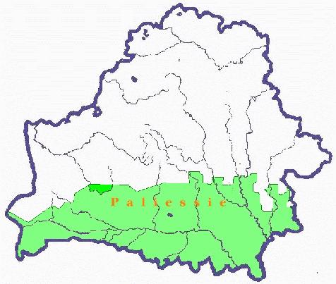
The Paliessie area presents a plain with rare and irregularly distributed hills with flat tops and gentle slopes. Sand is common in places of higher elevation on which pine trees are typical. Wide and swampy river valleys are a characteristic feature of the landscape described. The Paliessie lowlands are only 100-150 meters above sea level, their western part being a little bit higher than the eastern one. Naturally, the rivers flow eastward.
The Prypiac river near Mazyr 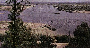
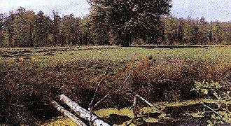
Paliessie is famous for its swamps. Especially, there are many of them in the central part , in the vicinity of the city of Pinsk. It is there where the biggest tributaries flow into the Prypiac’ river. The rivers that flow through Paliessie are fairly rapid at their initial sources which are located in Belarusian and Ukrainian hilly areas. Then, having entered Paliessie, the rivers become calm, and sand and chalk subside. Many small islands are being formed from the carried sand and chalk. Terraces covered by sandy dunes and swamps stretch along the rivers. The development of extensive swamps is due to the presence of impervious clays and to the slow run-off because of the slight slope of the whole area. The Paliessie swamp country is extensively forested. The forest growing on hills is needless while it is mixed if it grows on lowlands. Amidst the forests there are many lakes with low banks covered with thick grass.
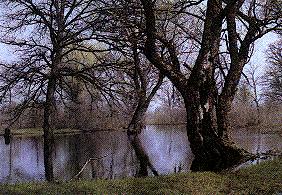
A typical Paliessie landscape 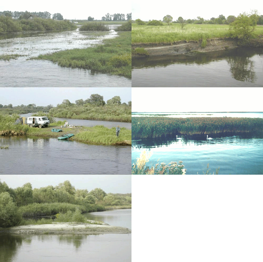
When rivers come close to Prypiac’ their streams are divided into numerous branches embracing vast areas with its water networks. One of such areas, called Zareccha, is located south of Pinsk. During the spring floods the whole region is covered with water and looks like a big lake. Rare villages are located on irregularly distributed hills. In summer, when the water subsides, Zareccha resembles a giant meadow covered with thick grass.
During the last 20 years the drainage of the Paliessie swamps has been carried out very enthusiastically. The aim of this activity was to turn the swamps into hay-fields. Many swamps really disappeared, and numerous canals cut through the region. However, people were little bit heavy-handed with the drainage and infringed on the natural equilibrium of the region. In some Paliessie villages that used to lie amidst impassable swamps, the wells lack water now.
The landscape of Paliessie is quite monotonous. Definitely, it is not its relief that is fascinating. However, one can be impressed by the vastness of Paliessie, by its rivers, lakes, and swamps. Their appearance changes several times a year, making Paliessie either a big lake, an impassable grass forest or a plain covered with light ice.
Some links to Palesse topics:
- Pripyat National Retreat in Belarus
- Polesie National Park in Poland
- Palesse info at Wilkipedia
- The Pripyat Marshes of Ukraine - the Royal Geographical Society's 1998 Ralph Brown Expedition to Europe's Last Great Wetland
See also these 1999 photos of Paliessie made by Auhien Kardash.
